November - Final Report
Final Fall Color Report – 2025
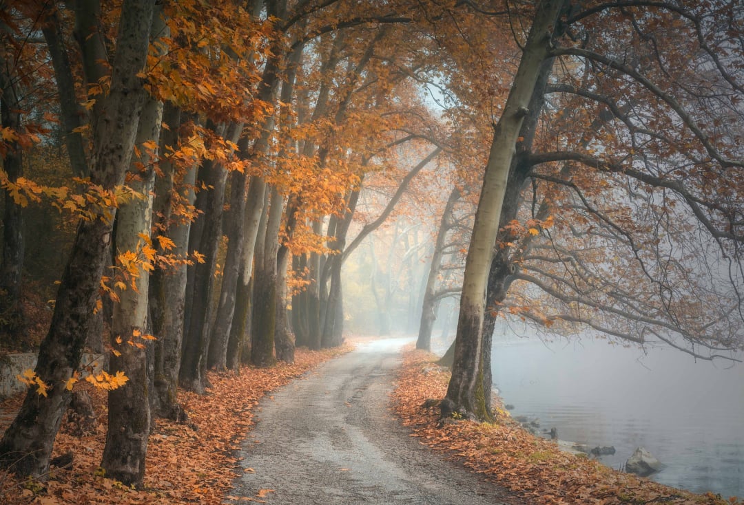
As another autumn in the mountains comes to a close, it’s time to look back on what Mother Nature had in store this year. The vibrancy of 2025’s leaf season varied more than usual, shaped by local microclimates, patterns of summer rain and sunshine, and the late arrival of the crisp, cool nights that help trigger those brilliant hues we all look forward to.
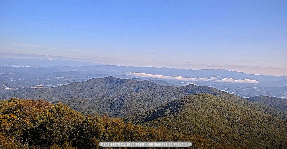
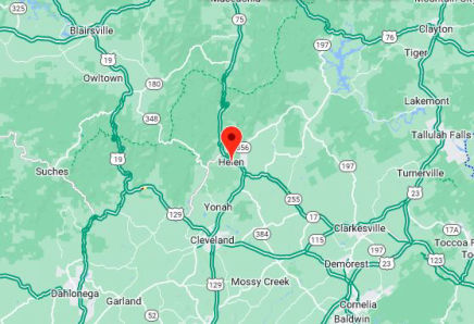
Exploring The High South this past week—from elevations around 3,200 feet down to the valley floors near 1,200—revealed just how much difference a few thousand feet can make. The sweet spot for color right now sits between 2,000 and 3,000 feet, where you can still find flashes of gold, amber, and bright crimson lighting up the hillsides. Below that, the season is quickly wrapping up; most trees are shedding their leaves, the palette fading into soft browns and muted yellows as the landscape settles in for winter.
It’s been a beautiful ride through another Appalachian autumn—different from years past, but every bit as memorable in its own way. Here’s to a cozy winter ahead, and we’ll see you back on the mountain trails for the color show in fall 2026!
Use these links to plan your fall colors trip:
Tips to enjoy fall leaf colors
WNC Fall Events
Northeast Georgia Events
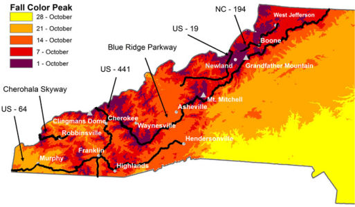
Peak colors by elevation
Image: Fall colors (2025) begin to roll over Northeast Georgia as seen from Brasstown Bald.